CHANNEL ISLANDS YACHT CLUB
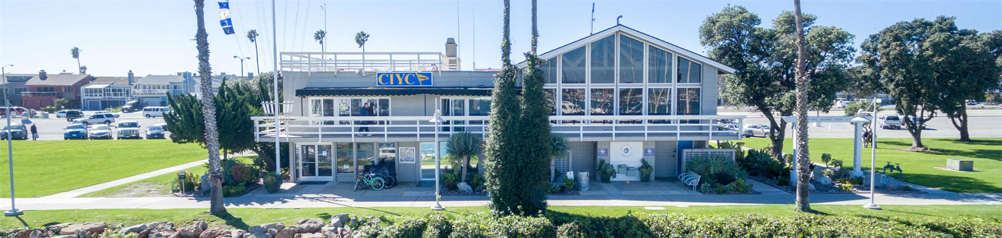
Channel Islands Harbor, CaliforniaChannel Islands Yacht Club (CIYC), situated in the beautiful Channel Islands Harbor, has been serving the needs of its members, the boating community, and Ventura County water-associated activities since its founding in 1960. With an authorized membership of 400, the club has thrived on the enthusiasm, involvement, and volunteer spirit of its members. The club members form a diverse mixture of people from all walks of life sharing a mutual love of the sea. The atmosphere of the harbor-front clubhouse, with its spacious dining room and comfortable bar, is warm and friendly, reflecting the Club’s fine reputation on the Southern California Gold Coast.
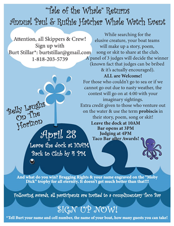
The Club’s activities include a well-rounded program of sailboat racing, cruising, and fishing activities, as well as an active social program (click on the Calendar page to see). If you are a CIYC member, we are sure you will want to consult this web site often to keep up on the many activities that are going on each month. If you are a visitor, we are glad you are visiting us. To learn more about our Yacht Club, please go to the Contact page and we will be happy to contact you.
[To Request a Reciprocal Guest Slip, call Marc Gault - 805-722-9422, or email at: marc4him@gmail.com]